Mapping Services
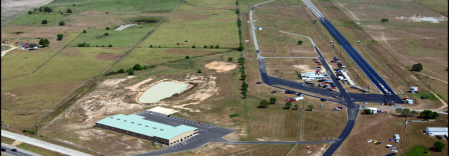
Drone mapping is a precise, efficient solution for surveying large areas with high accuracy. This service is beneficial in industries like construction, mining, and environmental monitoring. With drone mapping, companies get access to high-resolution aerial data faster than traditional methods allow. Our solutions include 3D mapping, terrain analysis, and vegetation mapping tailored to specific needs. These services improve project planning, reduce costs, and boost decision-making accuracy. Discover how drone mapping can enhance your project’s efficiency.
Real-Time Monitoring
Real-time monitoring allows industries to capture live data, essential for fast-paced environments. From traffic management to event security, our drones provide a constant aerial view, ensuring quick, informed decisions. This service is vital for sectors where continuous updates are critical, like agriculture, logistics, and emergency response. Our advanced systems offer high-resolution live feeds, even in challenging weather. The technology supports remote monitoring from any location, boosting oversight and operational control. Explore the power of real-time monitoring for your organization.
Logistics Support
Drones are transforming logistics, offering solutions from delivery to tracking and route optimization. For last-mile delivery, drones provide an efficient alternative, especially in hard-to-reach areas. Logistics support also includes inventory management, surveillance, and expedited transport in supply chains. Our services cater to companies seeking cost-effective, sustainable logistics solutions with minimal delays. Drone logistics help reduce fuel use and provide environmentally friendly alternatives. Revolutionize your logistics with our drone-based support services.
Disaster Response
In emergencies, drones offer unparalleled support, providing immediate aerial insights to responders. Whether assessing natural disasters or tracking wildfires, our drones give real-time data, speeding up response efforts. Drones can reach hazardous or inaccessible areas, aiding in effective rescue operations. Equipped with infrared and thermal imaging, they can detect survivors and assess damage accurately. This technology is invaluable for humanitarian aid, reducing response times significantly. Enhance your disaster response with state-of-the-art aerial technology.
Inspection Services
Drones offer a safe, efficient solution for inspecting infrastructure like buildings, bridges, and pipelines. This service minimizes the need for risky manual inspections, saving time and improving accuracy. Equipped with high-resolution cameras and sensors, drones capture detailed visuals in real-time. Companies benefit from reduced downtime, lower costs, and improved safety in inspection processes. Our services cater to construction, energy, and manufacturing industries needing frequent, precise checks. Rethink inspection with aerial technology that elevates your safety standards.


